The following items are listed for sale by the owner and all negotiations and communications are between the seller and potential buyer and this Club is not responsible or involved in the transaction in any way other than being an advertising medium for the seller.
There are no items in the list
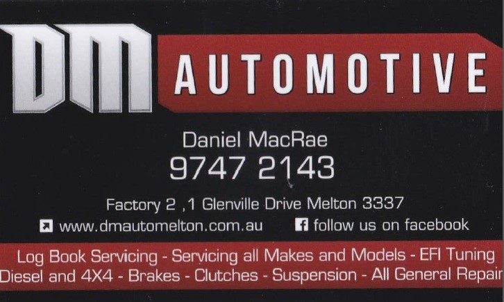
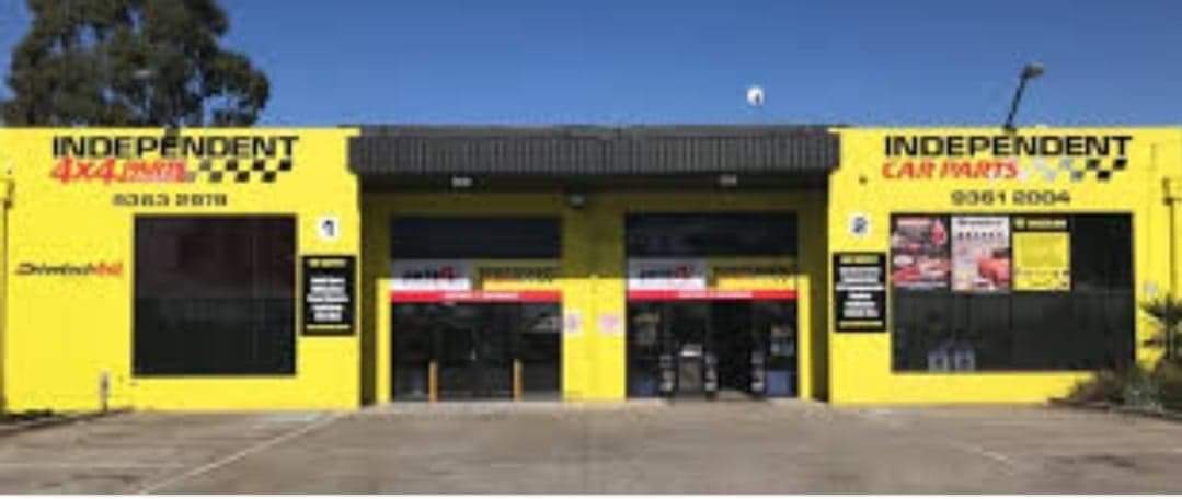
CLICK ON IMAGE FOR MORE INFORMATION